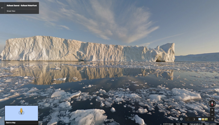
Greenland offers staggering beauty, but it’s too remote for most of us to even contemplate a visit.
Fortunately, Google Maps has expanded Street View to parts of the country with the help of some partners. And the views are spectacular.
“Thanks to our partners Visit Greenland and Asiaq, you can now explore immersive 360-degree imagery of the world’s largest island, which is sparsely populated yet chock full of glorious natural wonders and historical sites,” Google said in a blog post today. “Let us take you on a tour of fjords, waterfront vistas, Norse ruins and more.”
The first set of views include the Ilulissat icefjord, Greenland’s most famous tourist destination and an UNESCO World Heritage site. You can also check out Brattahlid, site of Erik the Red‘s first Viking colony, established in the 982; the Hvalsey Church, a well-preserved Norse ruin; and Nuutoqaq, a colonial harbor.
The dedicated page to start your tour of Greenland’s wonders is here.
Source: Google


