Want smarter insights in your inbox? Sign up for our weekly newsletters to get only what matters to enterprise AI, data, and security leaders. Subscribe Now
Thanks to Google Maps’ new measurement tool, this reporter now knows his apartment is exactly 2.88 miles from VentureBeat’s New York office and 2,556.26 miles from VentureBeat’s San Francisco office.
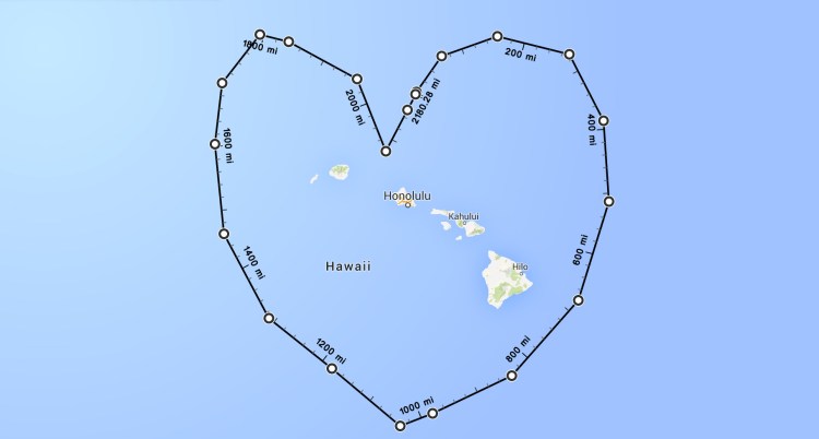
You, too, can acquire such distance-related knowledge by using the updated Google Maps web app — just right click and select “Measure Distance” to begin dropping points on the map. Each click on an empty area creates a new point, while clicking on an existing point removes it. You can drag existing points to tweak their position.
The tool may be useful for runners or cyclists looking to measure their routes by distance. You can also use the tool to make fun drawings, as Google demonstrated.
More specialized apps including Free Map Tools and GeoDistance already offered this functionality on top of Google Maps, but now it’s part of the core Maps feature set.

Above: A man-shaped route through Central Park.
Via TNW