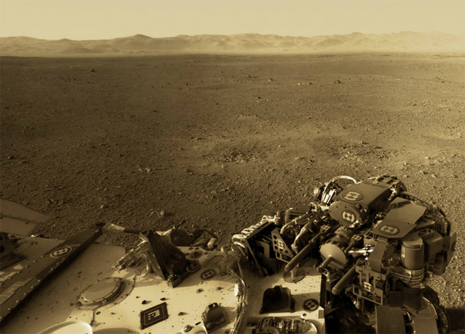
Ever wanted to explore Mars just like you can explore Earth on Google Maps? Now you can, thanks to an incredible new 360-degree panorama on 360Cities.
[aditude-amp id="flyingcarpet" targeting='{"env":"staging","page_type":"article","post_id":507884,"post_type":"story","post_chan":"none","tags":null,"ai":false,"category":"none","all_categories":"business,offbeat,","session":"D"}']Photographer Andrew Bodrov has created a way to explore the Mars surface by stitching together photos from the Mars Curiosity rover. While the rover’s camera isn’t top-notch by today’s standards, it still does a great job showing us the surface of the Red Planet, especially rocky soil and the Marian horizon.
The explorable image lets you zoom, pan, and easily navigate the landscape. It’s the closet thing we have yet to feeling like we’re actually on Mars.
AI Weekly
The must-read newsletter for AI and Big Data industry written by Khari Johnson, Kyle Wiggers, and Seth Colaner.
Included with VentureBeat Insider and VentureBeat VIP memberships.
Click here to explore Mars’ surface in 360 degrees.
You can view more photos from Curosity at NASA.gov or in the gallery below:
[vb_gallery id=506192]
Photo: 360Cities.com
VentureBeat's mission is to be a digital town square for technical decision-makers to gain knowledge about transformative enterprise technology and transact. Learn More
