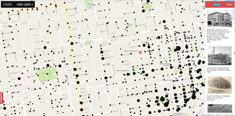
If you’ve ever wondered what it would feel like to travel back in time and walk the streets of San Francisco, this might be the closest you’ll get.
Two developers, Dan Vanderkam and Raven Keller, had the brilliant idea to take all the old photographs from the San Francisco Historical Photograph Collection and put them on an interactive map. This map functions similarly to Google Street View, except when you zoom in on a particular place, it gives you photos from as far back as 1850.
The project, called OldSF, lets you manipulate a slider to change the range of years (it goes from 1850 all the way up to 2000). Vanderkam and Keller have geocoded about 13,000 images.
Visit the site here, or look below for some of the best photos we saw from the 1800s, marked with their locations in the city. (All photos via San Francisco History Center/San Francisco Public Library.)
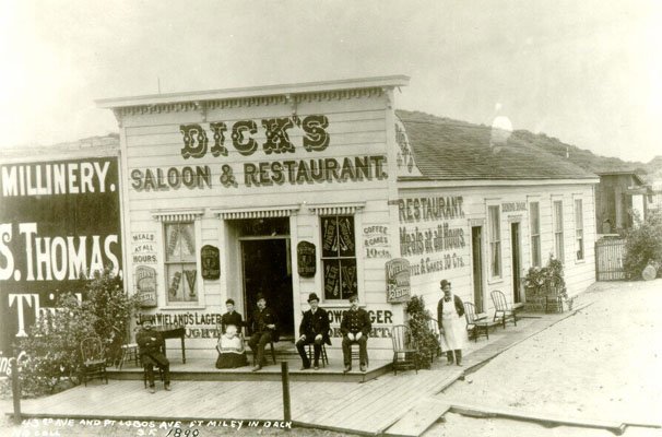
Point Lobos Avenue and 43rd, Dick’s Saloon, 1890
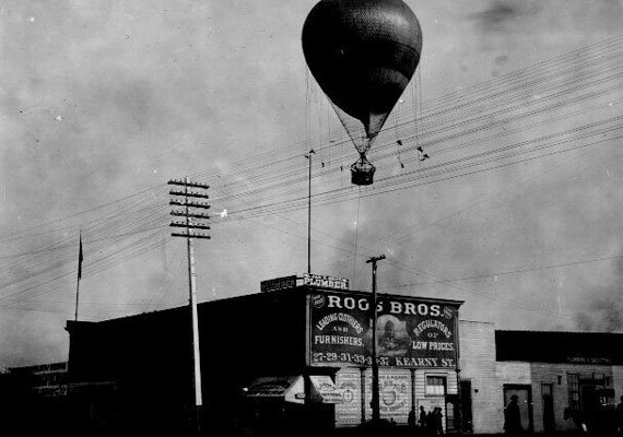
Central Park, 8th and Mission, circa 1887
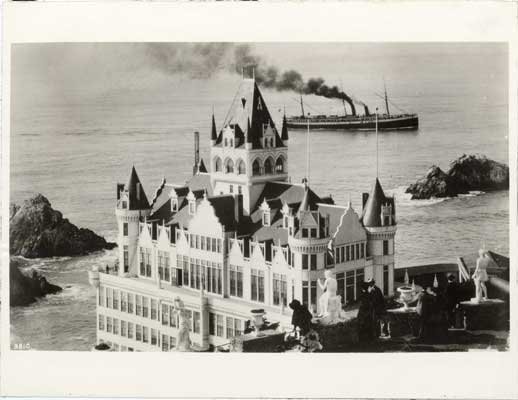
Group of people overlooking the Cliff House from Sutro Heights, 1890
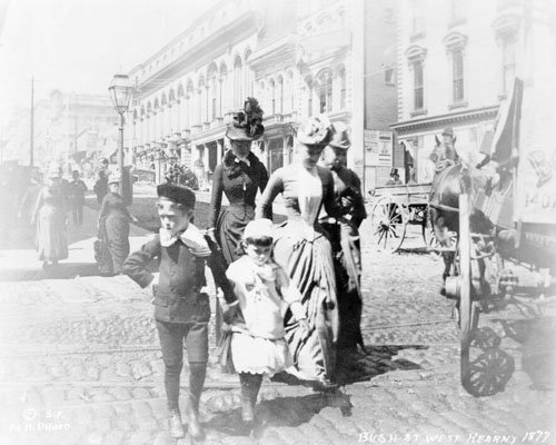
Bush Street, west of Kearny, 1877
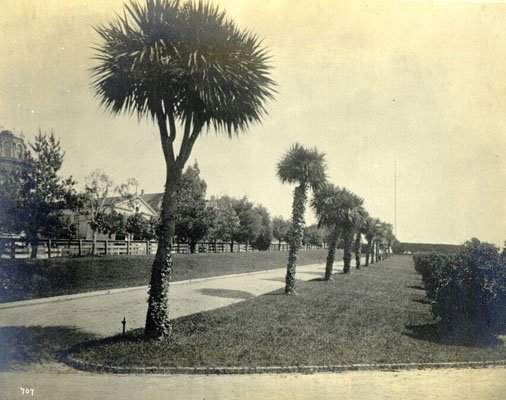
Palm Avenue in Jefferson Square, 1881
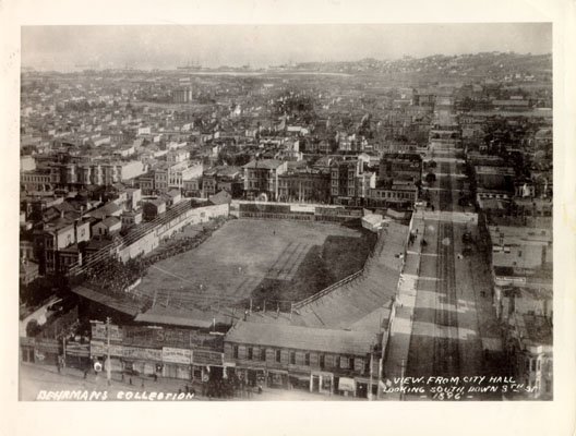
View from City Hall, looking south down 8th at Central Park, 1896
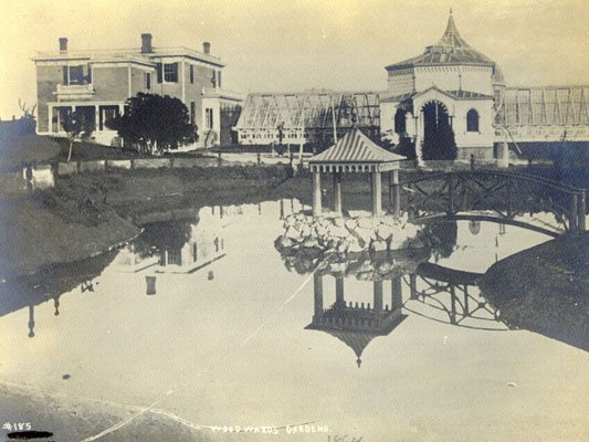
Woodward’s Gardens, 1864
California Street, looking east from Montgomery, 1865

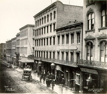
Exterior of the What Cheer House on the south side of Sacramento, below Montgomery, 1865
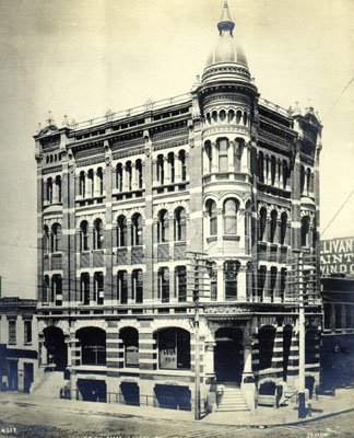
Building on northeast corner of Front and California, 1890
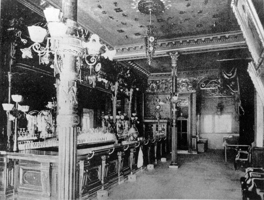
Baldwin Hotel bar, 1880
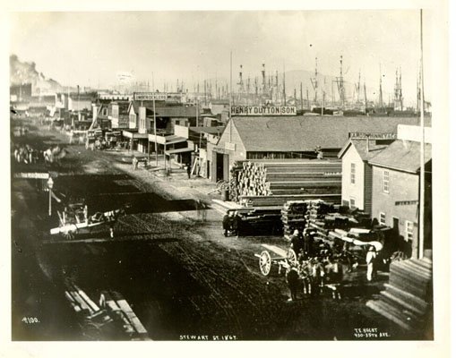
Steuart Street, 1864
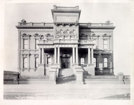
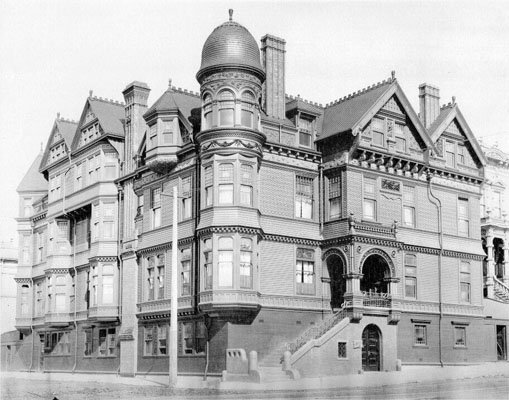
J. C. Flood Mansion, California Street, 1886
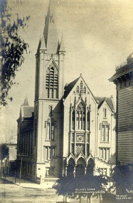
St. Luke’s Episcopal Church, southeast corner of Sacramento Street and Van Ness, 1895
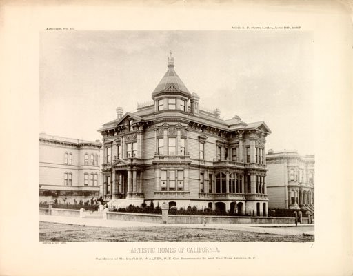
Sacramento and Van Ness, 1887
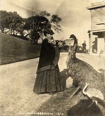
Woodward’s Gardens, 1874
Miss Lake’s School for Young Ladies, corner Sutter and Octavia, 1890
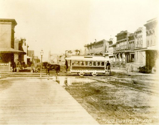
Howard Street, looking east from 6th, 1866
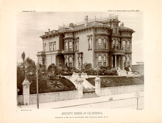
1919 California Street, 1887
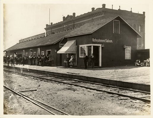
Southern Pacific passenger depot, 1879
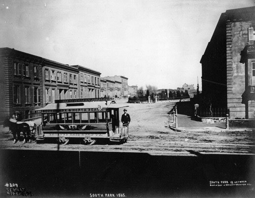
Cablecar at South Park, 1865
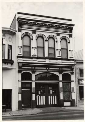
Fire Engine No. 13 at 1458 Valencia, 1884
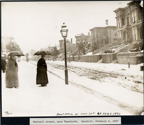
Shotwell Street near 20th, Snowfall, 1887
The Willows, 18th & Valencia, 1864

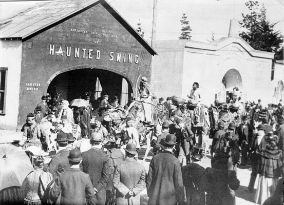
Musicians performing outside the “Haunted Swing” at the Midwinter Fair in Golden Gate Park, 1894
This story originally appeared on Www.businessinsider.com. Copyright 2016
